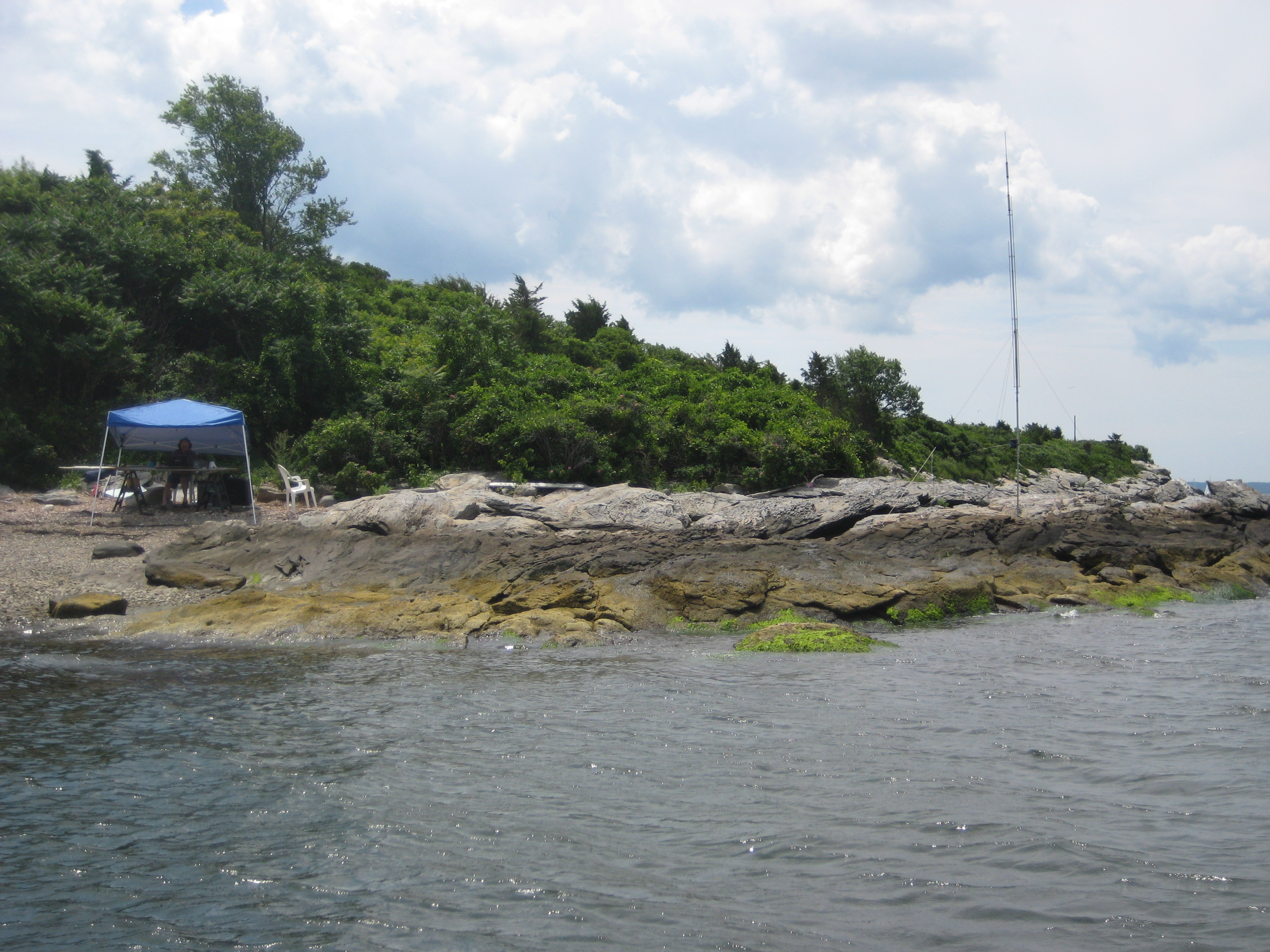
The Hope Island activation 26 July 2014 was a partial success. The log easily qualified Hope as a new US Islands entity, RI-18, however, heavy QRN on 20 meters denied many ops an entry. The operation site recalled Gilligan’s Island – heavy vegetation, a shell beach, and many species of marine birds. All things considered, a great day in amateur radio!
|
Pete Lawson photo |
|||
| Activation | Position | RSGB IOTA | US Islands |
| Hope Island | 41° 36’08″N 71° 22’11″W | NA-031 | RI 018 |
Primary Operator: Jim Sammons, KA1ZOU
Description of the island
Miantonomi, Chief Sachem of the Narragansetts, presented Hope Island as a gift to his friend Roger Williams, founder of the Rhode Island colony. Williams named the island Hope along with four others, whose names together became the source of the school child’s rhyme, “Patience, Prudence, Hope, and Despair; little Hog Island right over there.”
Hope lies immediately West of Prudence Island and close to the geographic center of Narragansett Bay. Although there was a working farm in the 18th-century, the island today is covered by an impassible tangle of vegetation. Further, Hope Island is unusual compared to other Bay islands in that its shores are steep and rocky. There are only a few very small cusps where a dinghy can land safely.
Taken together, this explains why Hope probably is the least visited island in Narragansett Bay. As such, Hope is an ideal member of the Narragansett Bay National Estuarine Research Reserve, dedicated to the study of marine nesting and wading birds.