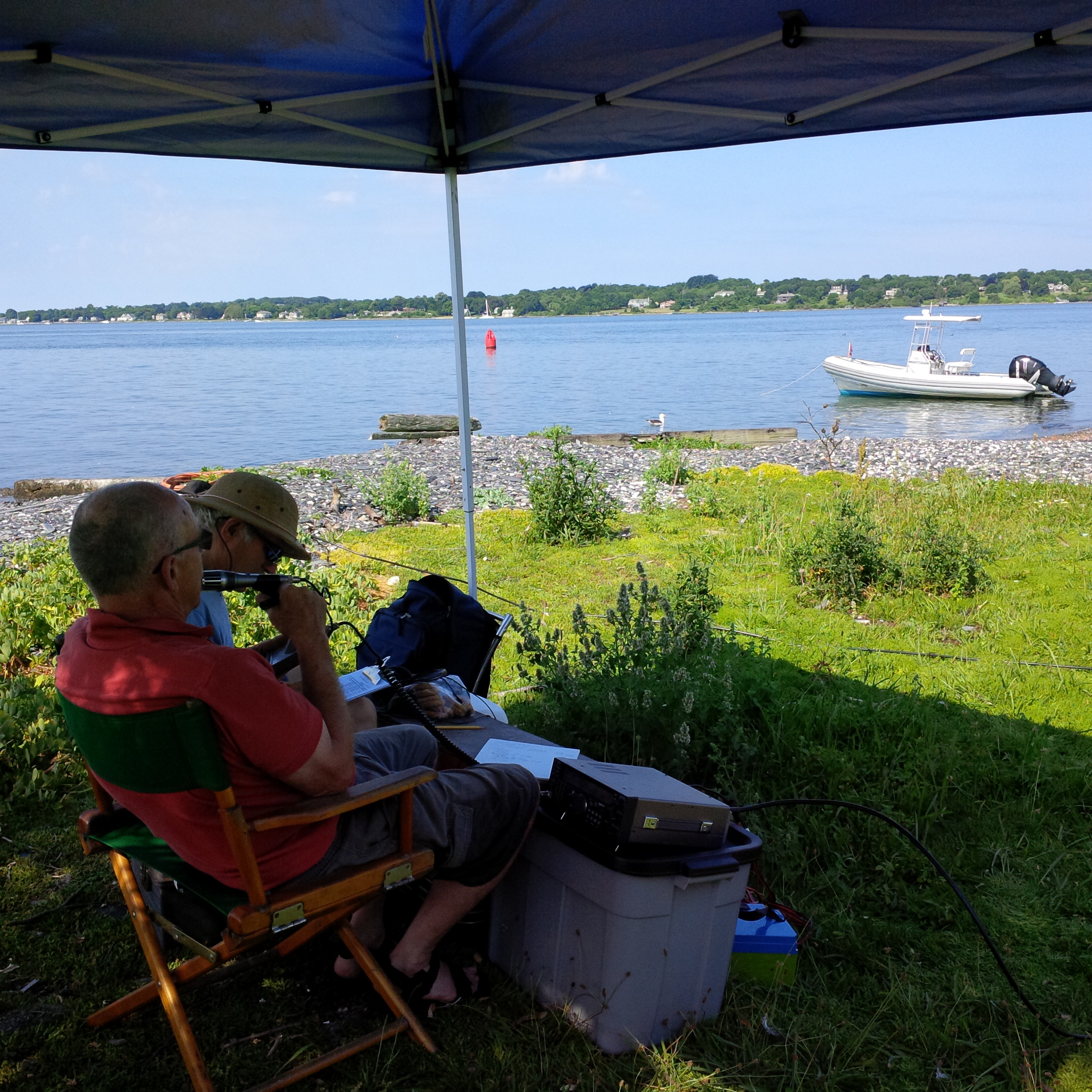
The DXpedition to Gould Island took place on Saturday, 12 July and Sunday, 13JUL14 and was quite the success. The operators commented that pile-ups were intense at points, with over 350 casual QSOs completed over about 11 hours of operating time. A couple of photographs are posted below. More will follow.
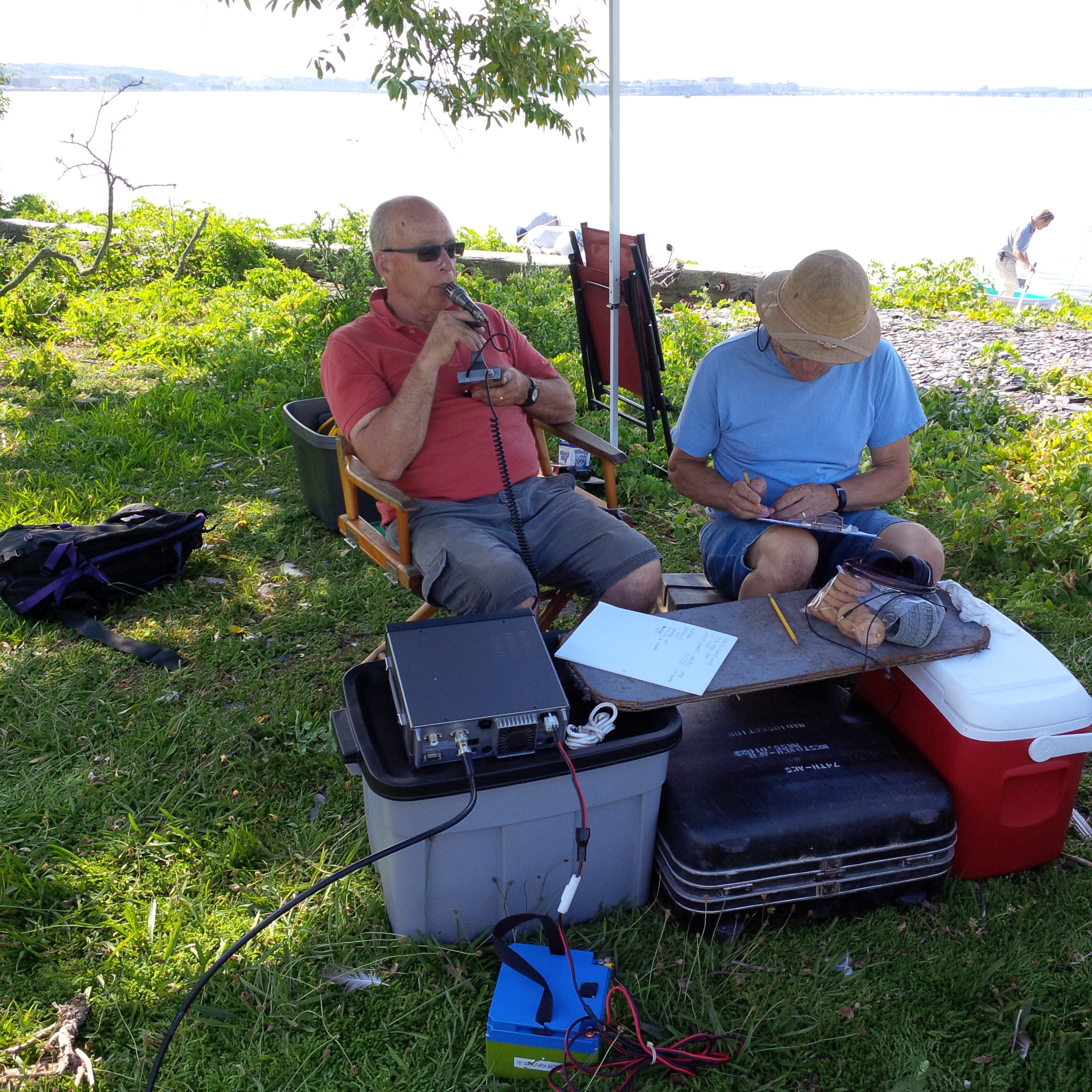
Willy, W1LY, and Jim, KA1ZOU, operating on Gould Island.
| Event Identification | Island Identification | ||
| Activation | Position | RSGB IOTA | US Islands |
| Gould Island | 41° 31’47″N 71° 20’41″W | NA-031 | RI 011S |
Primary Operator: Willy Maclean, W1LY
History of the island
The name of the island causes confusion because there are two Gould Islands in Narragansett Bay. The smaller one, at the head of Sakonnet River, is uninhabited. Gould Island, the site of our activation, lies between Conanicut and Aquidneck islands in the East Passage.
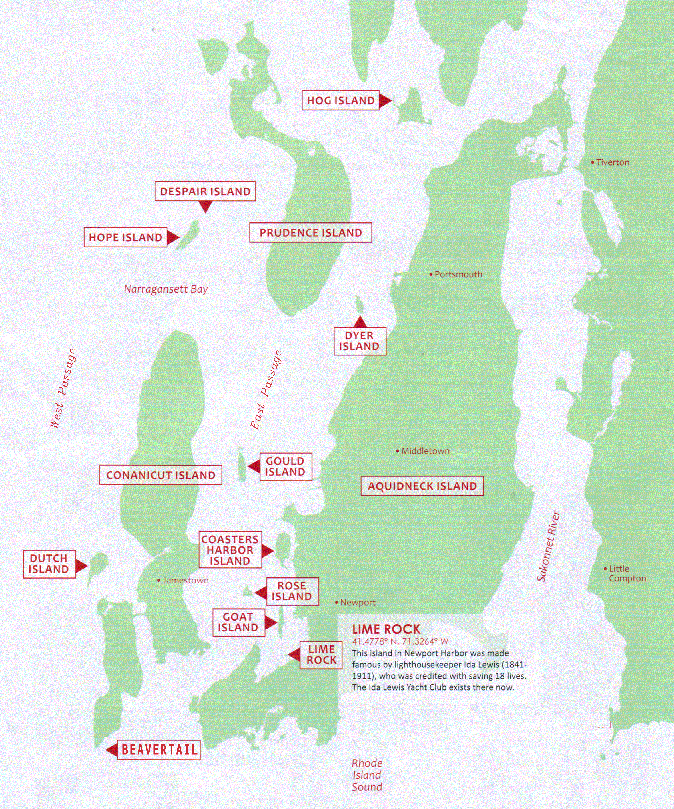
Colonist Thomas Gould purchased “Aquopimokuk” from the indigenous Narragansetts in 1657. Thus began a line of private ownership that ended in 1919 when the US Navy acquired most of the island. They soon built hangers and a sea plane landing for Navy torpedo planes.
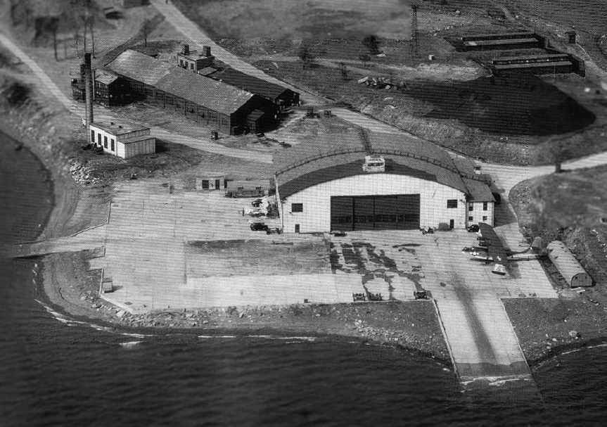
Today only the northern tip of the island is actively used by the Navy, while the rest is largely overgrown with thick vegetation that supports a wildlife refuge.
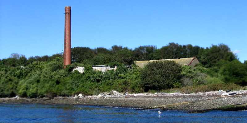
George DeGregorio photo, 2006